


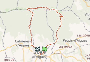

6.5 km | 9.7 km-effort


User


FREE GPS app for hiking
 SityTrail
IGN / Geographical institutes
SityTrail World
The world is yours!
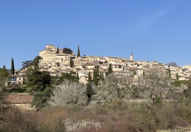
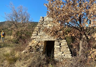
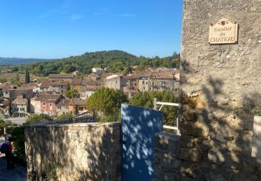
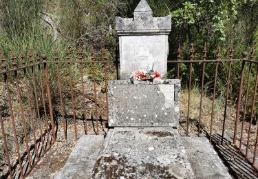
Trail On foot of 18.4 km to be discovered at Provence-Alpes-Côte d'Azur, Vaucluse, La Motte-d'Aigues. This trail is proposed by JMCMoreau.
Randonnée pédestre qui répond aux attentes des sportifs.
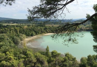
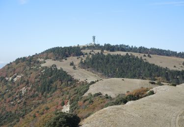
Magnifiques points de vue.
Quelques passages délicats.
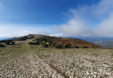
Des crêtes on domine la vallée d'Aigues et le mont Ventoux
Walking
Walking
Walking

Walking
Walking
Walking
Walking

Walking
Walking